
Neighbourhoods and districts of Jaén
Each area with its neighbourhoods, what is there and what is going on, and housing prices where we have them.
Official division: los 9 distritos censales con que el Negociado de Estadística del Ayuntamiento de Jaén divide la ciudad, y sus barrios según la tabla del I Plan Municipal «Jaén, ciudad amigable con las personas mayores» (2023-2026). Ayuntamiento de Jaén e INE
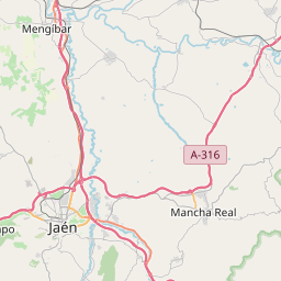
Map © OpenStreetMap
Distrito 1
8.804 inhabitants
La Catedral, Carrera de Jesús, La Merced, La Alcantarilla, Seminario and Fuente Don Diego
With housing prices
Distrito 2
8.512 inhabitants
Centro, San Ildefonso, Cerro de las Canteras, Polígono Industrial de la Carretera de La Guardia, Tentesón, Los Bermejales, Plaza de Toros, La Salobreja and Adarves Bajos
With housing prices
Distrito 3
17.590 inhabitants
Avenida de Granada, Ejido de Belén, San Roque, Polígono del Valle, Cerro de la Misericordia, Polígono Industrial Llanos del Valle, Cerro Molina, La Manseguilla and Puente Tablas
With housing prices
Distrito 4
26.551 inhabitants
Las Protegidas, Paseo de la Estación, Expansión Norte, Bulevar, Marroquíes Bajos, Polígono Industrial Los Olivares, Polígono Industrial Los Rosales, Nuevo Jaén, Las Lagunillas and Las Infantas
With housing prices
Distrito 5
27.587 inhabitants
Peñamefécit, Santa Isabel, Las Fuentezuelas, La Granja, La Imora and Valdeastillas
With housing prices
Distrito 6
6.778 inhabitants
La Magdalena, Castillo de Jaén, San Vicente de Paúl, Antonio Díaz, Pilar del Arrabalejo and San Juan (parte)
With housing prices
Distrito 7
4.693 inhabitants
San Juan (parte), San Andrés, Judería and Millán de Priego
With housing prices
Distrito 8
4.411 inhabitants
Centro, San Bartolomé and Almendros Aguilar
With housing prices
Distrito 9
7.193 inhabitants
San Felipe, La Glorieta, El Tomillo and Jabalcuz
With housing prices